
Olathe Previous-Resident Record Eras
No single roll names every person attached to an Olathe address. The best source depends on the date and the question. Deeds identify parties to land transfers, tax rolls attach a name to a parcel, and directories or censuses can reveal a household. Maps and permits show physical change. A prior owner is not automatically a former occupant, and a directory entry is only evidence for its publication year.
| Olathe source | Verified span | Keeper or access point | Evidence found |
|---|---|---|---|
| Recorded-document indexes | 1920–1987 library; 1920–present subscription description | Johnson County Register of Deeds | Grantor, grantee, instrument, image, related documents |
| Recorded plats | 1866–present | Register of Deeds and AIMS Plat Search | Subdivision, lot, block, plat identity |
| County tax rolls | 1862–2007 | Johnson County Archives | Annual parcel and taxpayer context |
| Polk Olathe directories | 1961–1984 catalog run | Johnson County Library | Printed name and address details |
| Federal and Kansas census | Federal 1860–1950; state 1855–1925 | NARA, KSHS, and library databases | Household snapshots and census geography |
| Sanborn maps | 1884–1950 listed runs | KSHS, Library of Congress, libraries | Buildings, use, block form, some labels |
| Permit reports | 2024–2026 online; back to 2017 by request | Olathe Building Codes | Address, project, and physical change |
Start with AIMS and the county tax search for a recent address. For a mid-century household, pair deeds with the library's directory holdings. For an early Olathe parcel, move to plats, Archives tax material, census schedules, and Sanborn sheets. The table marks proven coverage, not a claim that every year or image is online.
Anchor Olathe Resident History
Street numbers can fail as historical keys. Save the current Property ID, KUPN, Quick Reference ID, legal description, subdivision, plat book and page, owner, site address, billing address, and map date from Johnson County Location Maps and Information. The legal description is the recorded description of the land, while the site address is the label used to locate it on the street. Those fields may point to the same place in different ways.
A parcel may have split, combined, been replatted, or entered Olathe through annexation. When that happens, follow the lot, block, subdivision, plat, or older metes-and-bounds description. Do not force an old number onto a modern parcel because it looks close on a map.
Note: AIMS updates current property information nightly, but its planning map is not a survey or a substitute for the recorded deed.
Walk Olathe Resident Deeds Backward
The chain of title is the linked sequence of recorded transfers for one legal parcel. Begin with the present grantee, the person or entity receiving an interest, and work back to each grantor, the party conveying it. A refinance, correction deed, trustee instrument, or estate transfer may not represent a normal sale, so read document type and related filings before moving to the next name.
- Capture the current parcel and legal description from AIMS or the county tax record.
- Find the newest purchase deed and record its date, parties, instrument or book/page, and legal description.
- Search the seller as a grantee to locate that seller's earlier purchase.
- Compare descriptions at each step. Follow a plat, replat, correction, or split when the land identity changes.
- At the online boundary, continue through the public terminal, office books, Archives, and plat records.
- Grantor
- The party giving or transferring the recorded interest.
- Grantee
- The party receiving the recorded interest.
- Chain of title
- The linked run of transfers tied to the same land.
- Legal description
- The lot, block, plat, or surveyed description that identifies land more reliably than an old street number.
The Register of Deeds index access screen shows the starting point used for document research.
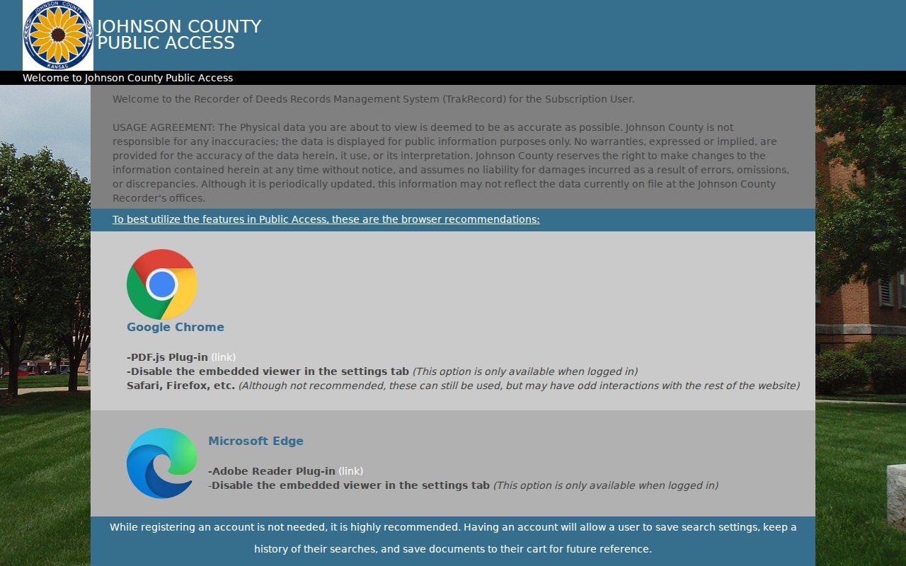
The screen is an access route, not proof that every historic deed can be found remotely. Preserve each instrument number so staff can retrieve the right record if the online path stops.
Olathe Previous-Resident Deed Access
The Johnson County document library names a 1920–1987 online document index and plats from 1866 to the present. The county also describes subscription searching from 1920 forward. These statements refer to different access products, so cite the screen and date used rather than merging them into one promise.
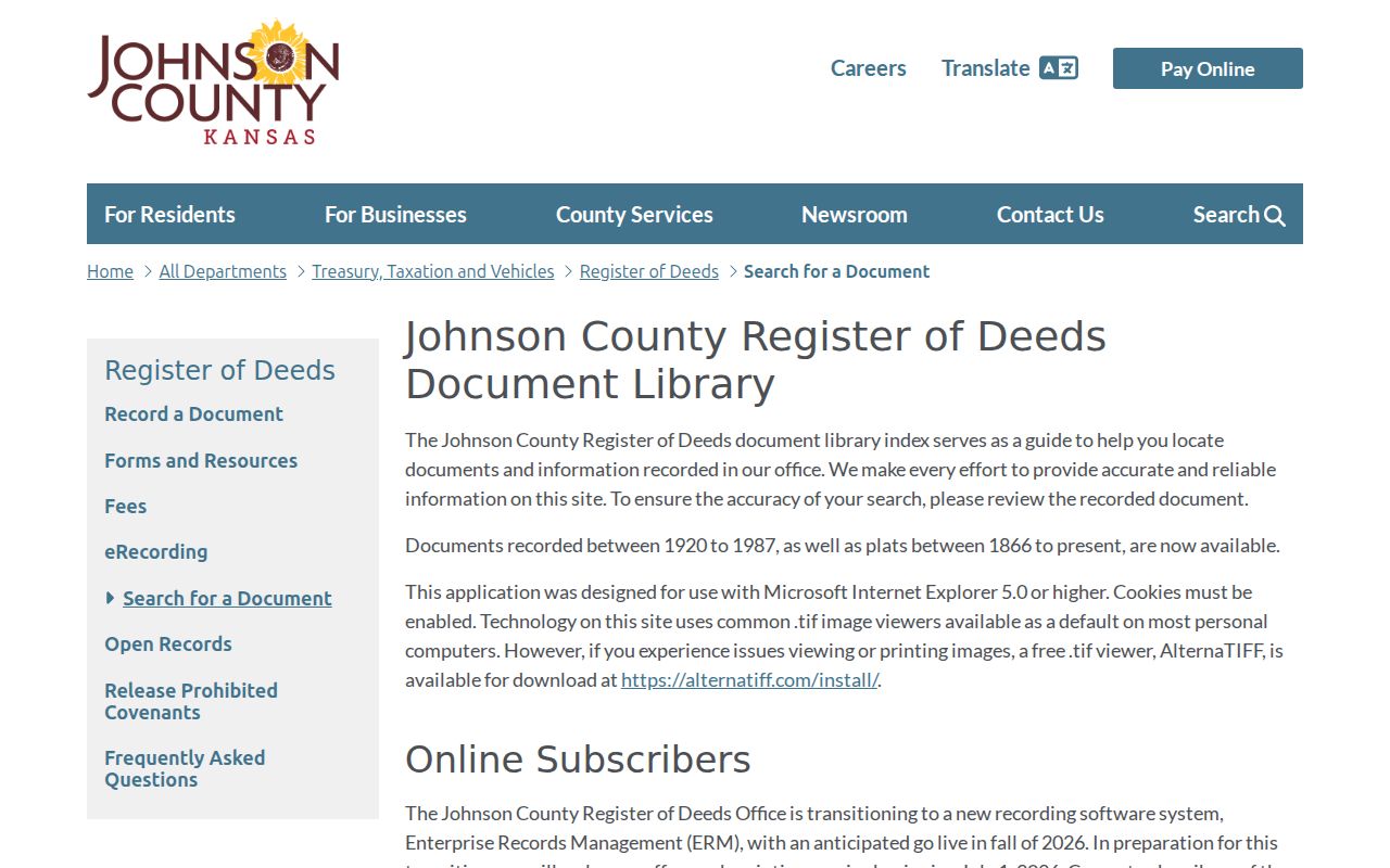
The library notice matters because the county is moving to Tyler Enterprise Records Management. Subscription access is scheduled to end July 1, 2026, with a public-access change anticipated in fall 2026. A saved citation can survive that portal change.
The office also provides a public terminal at 111 S Cherry Street, Suite 1200, in Olathe. Copies are listed at $0.25 per page, certification at $13, and a plat copy at $5 per page plus certification. Ask staff which system or book holds the date and document type needed.
The Register of Deeds research FAQ explains walk-in, mail, and land-record routes.
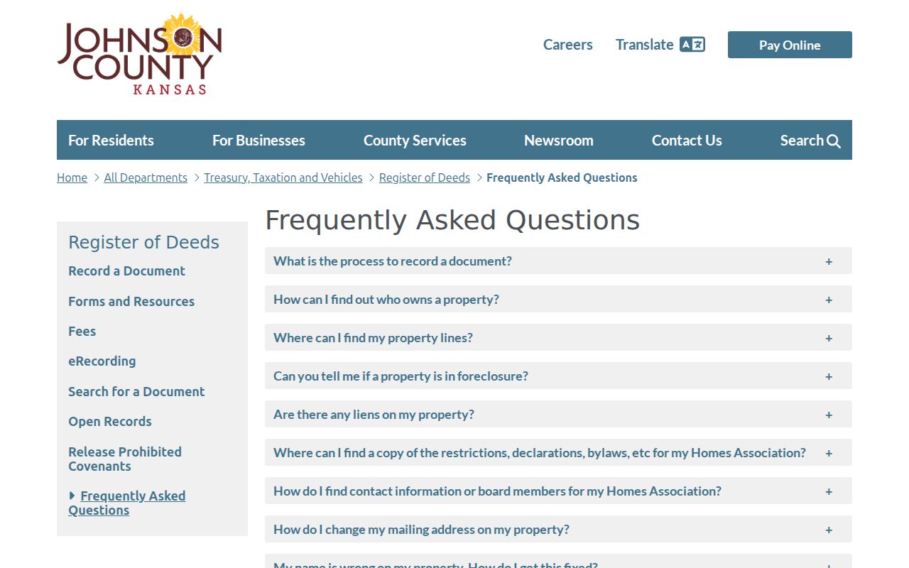
Use that office guidance when a name search fails, especially for a corrected deed, estate transfer, or homeowners-association declaration.
Match Olathe Previous Households
Ownership is only one part of the backward trail. Printed directories can place a named householder at an address, while a census can show the household on its enumeration date. Johnson County Library catalogs R.L. Polk's Olathe Including Gardner run for 1961–1984. Digitized leads include 1961, 1964, 1966, 1968, and 1977–1985, but access varies. The exact year-by-year reverse or criss-cross inventory is not confirmed.
- Choose the directory year closest to a deed transfer, and save the publisher, year, page, and printed address.
- Check the nearest federal census through 1950 and Kansas state census through 1925. Record the enumeration date and geography.
- Compare names, ages, relatives, occupations, and adjacent households without assuming one matching surname proves identity.
- Use a later directory or census to mark a move, then test the date against the next deed, tax roll, or news item.
The collection details belong to the Olathe city directory history; the task here is to connect a volume's address entry to one parcel and one dated household. The 1890 federal census was mostly lost in a national fire, so Kansas state censuses and local sources are vital for that gap.
Maps Test Olathe Resident Addresses
The Olathe Sanborn runs listed by the Kansas Historical Society span 1884, 1888, 1892, 1897, 1901, 1905, 1912, 1924 through 1945, and 1950. They show block form, building footprints, construction details, and uses. Some sheets carry labels, but the maps are not complete lists of previous residents.
The Kansas Historical Society Sanborn inventory identifies the available Olathe map years.
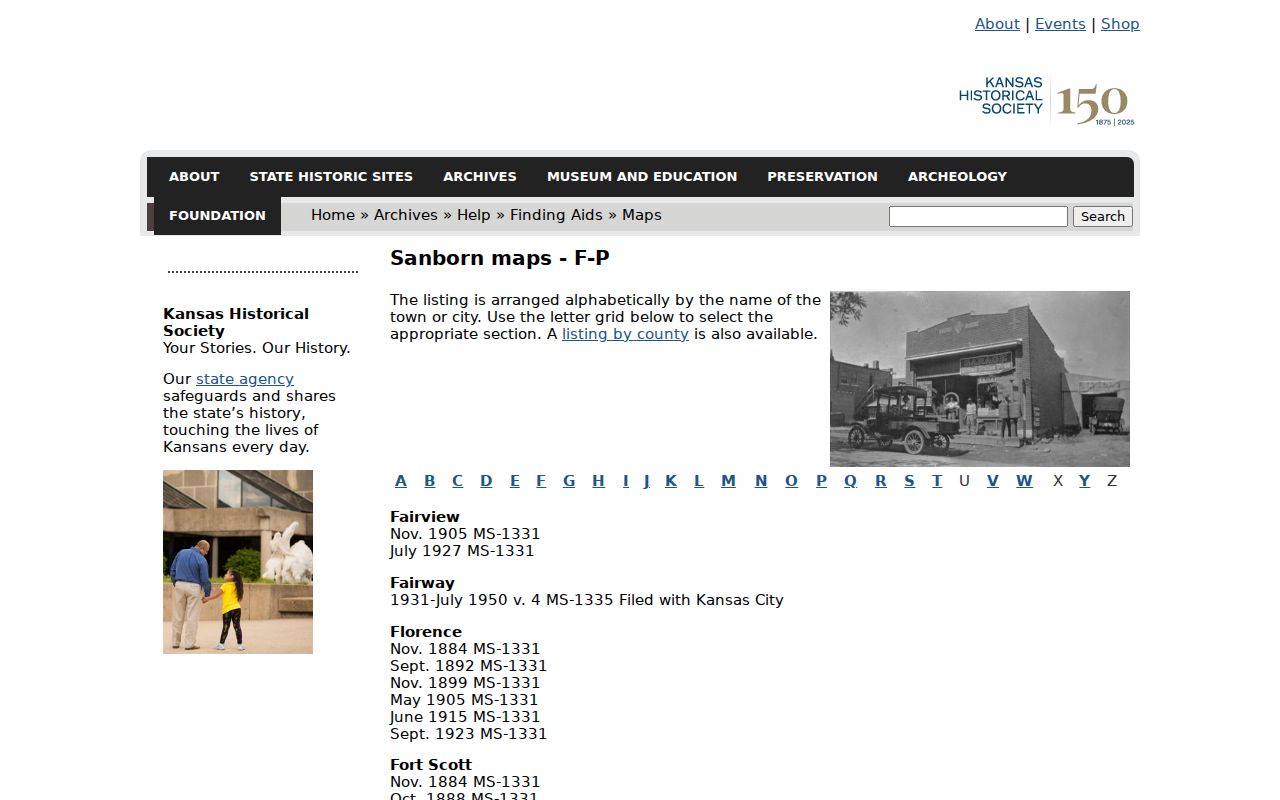
Match the sheet year to a directory or census date. If a building appears after one map and before the next, permits, tax rolls, plats, aerials, and newspapers can narrow the change without inventing an exact construction date.
Old Olathe Resident Addresses Mislead
Olathe records may use Black Bob or Lackman, Lone Elm or Parker or K-7, Mur-Len, Sheridan or 143rd, Santa Fe, and Strang Line. The city chronology also says the Kansas City, Missouri numbering system was used on Olathe's east side, but the exact change date has not been verified. This local quirk can make a sound address search look empty.
Bridge an old address with its legal description, lot and block, map year, nearby cross streets, and directory street index. Johnson County's historic right-of-way search can help when an older road identity explains a mismatch. Annexation itself does not change an address, according to the city, although legal city, school, tax, postal, and neighborhood geographies may still differ.
Note: Keep the original street wording in notes, then add the modern form as a separate, sourced interpretation.
Date Olathe Resident Property Changes
Permits and aerial photographs help explain a gap between the deed trail and the structure seen today. Olathe posts monthly permit reports for 2024 through 2026 and says reports back to 2017 may be requested under the Kansas Open Records Act. A permit can date a project, addition, demolition, or change of use, but the applicant or owner field does not name every person who lived there.
AIMS includes historic imagery from 1941 and 1954, digital photography reaching to 1991, and current imagery captured in even years. Compare the same parcel at two dates, then test a visible footprint change against permits, tax rolls, plats, and news. Aerial evidence can narrow a period, but it cannot identify previous residents by itself.
Olathe Resident Trails Reach Archives
For early tax, probate, marriage, and land context, use the Johnson County Archives historical-records catalog. Its tax rolls run from 1862 to 2007, delinquent tax lists cover 1858–1861, and probate journals, wills, settlement, naturalization, and other county records are listed by category.
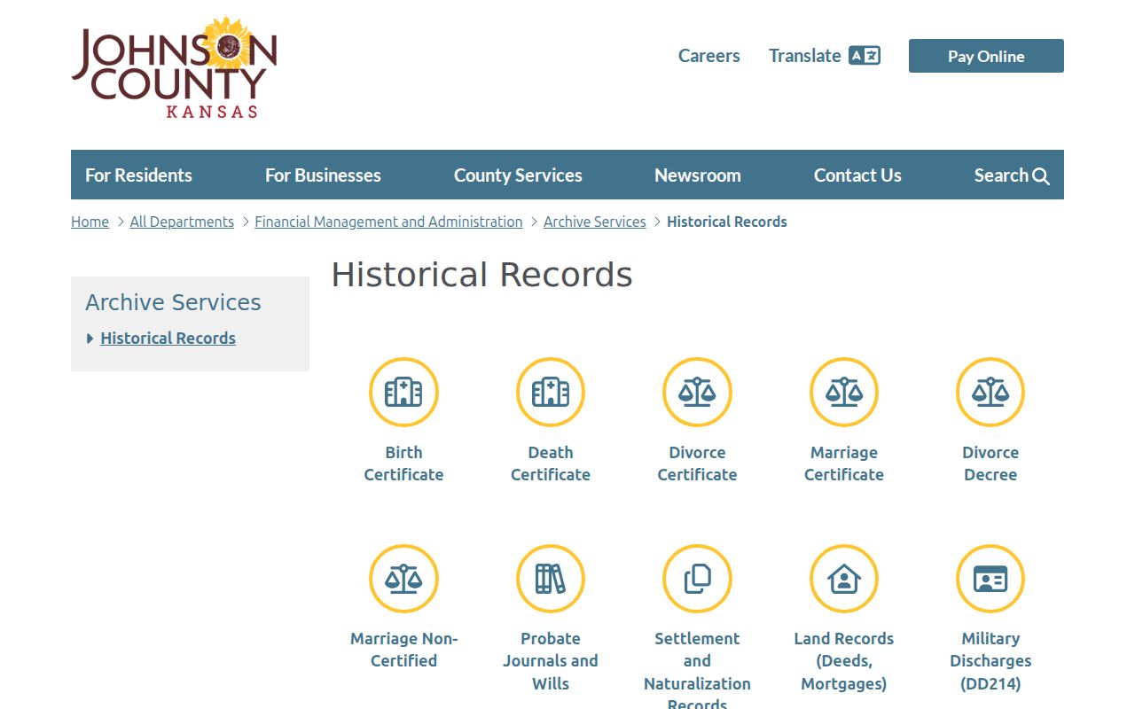
The catalog helps choose a record type, but Archives does not produce broad surname lists. Give staff a person, parcel, date range, and exact question. Johnson County Library's Genealogy Desk adds directories, maps, microfilm, newspapers, obituary citations, and one-on-one help.
Close an Olathe Resident Timeline
Obituaries, probate files, and burial records often explain why a name disappears from an address. JoCoHistory may supply an obituary citation instead of the full article. That citation can lead to relatives, a funeral home, a former address, or a cemetery. County Archives and District Court material may identify heirs and estate addresses, subject to the file's access and copy rules.
Olathe Memorial Cemetery has an official city burial search and dates to 1865. A burial record can close a life timeline, but it does not prove residence at the final address. Likewise, a deed party shows a property connection, not the full household.
Lawful use. Research Olathe previous residents for family history, house history, estate work, or personal curiosity. Never use address records to watch, harass, or harm a living person.