
Olathe ZIP Code Coverage
Four designations appear in official Olathe sources. Johnson County Library lists 66051 and 66061 through 66063 as ZIPs within the Olathe Public Library district. USPS sources then show how those numbers group for current mail labels. The evidence supports broad postal identities, not exact residential polygons. For that reason, each row states what the source proves and keeps its caveat close.
| ZIP | Broad Olathe area or role | Postal facility or grouping | Use note |
|---|---|---|---|
| 66051 | Downtown and PO-box use appears in local sources | Grouped by USPS with Olathe 66061 | Do not call it PO-box-only; no inspected source proved that |
| 66061 | Downtown and central Olathe mailing identity | Olathe Post Office, 110 N Chestnut | Retail facility ZIP is 66061-9998; city and ZIP lines differ |
| 66062 | Major east Olathe mailing identity | Olathe East, 15050 W 138th | Retail facility ZIP is 66062-9998; verify each ZIP+4 |
| 66063 | Olathe designation in library policy | Grouped with Olathe 66062 in the USPS list | No separate retail location appeared in the inspected page |
The careful language matters most for 66051 and 66063. Local sources use 66051 for downtown and organizational PO boxes, but the research did not find a USPS statement that it is exclusively a PO-box zone. Likewise, 66063 is an Olathe designation without a separate retail location in the inspected USPS page. An address-level check is stronger than a broad label.
Even 66061 and 66062 should be read as mail zones, not neighborhood names. The central and east labels in the table summarize official facility and grouping evidence. They do not place every named subdivision on one side of a postal line. For an exact property, use the full mailing address and the county parcel key. This is more precise than picking a route from a nearby landmark or post office.
Olathe Postal Pairings
Current USPS grouping material pairs 66051 with 66061 and pairs 66062 with 66063. The official FAST labeling details provide the routing context captured below.
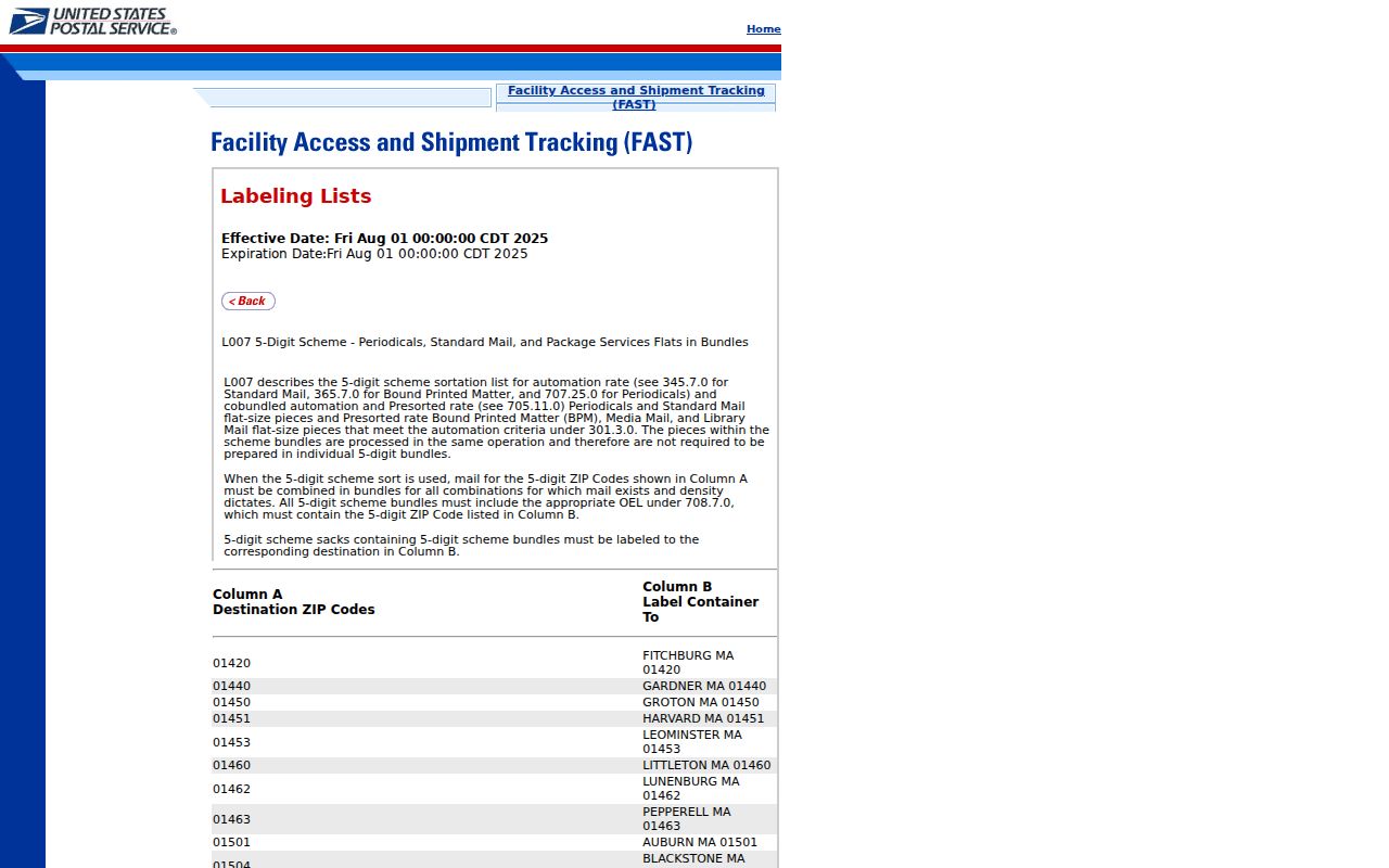
The pairing helps explain a preferred label. It does not merge the ZIPs, set a city boundary, or prove that a person receives mail at a listed address.
The two retail facilities give firmer place anchors. The USPS Olathe location page lists the Chestnut Street office and Olathe East on West 138th Street, shown in the next capture.
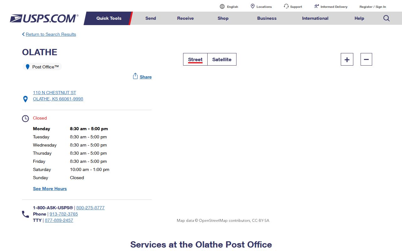
Use those facilities to understand service and label context, then validate the full destination rather than choosing a ZIP from proximity.
FAST lists are operational postal references. They can change as routing rules change, so keep the effective date with any saved result. When a tax roll, deed, or obituary uses a different Olathe number, cite that older string as written. A modern label can be added as a new fact, but it should not erase the source's own date and wording.
Four Olathe ZIP Designations
Johnson County Library policy supplies an independent local source for the four-number set. It places all four within the Olathe Public Library district rather than the Johnson County Library district. The library policy is shown below.
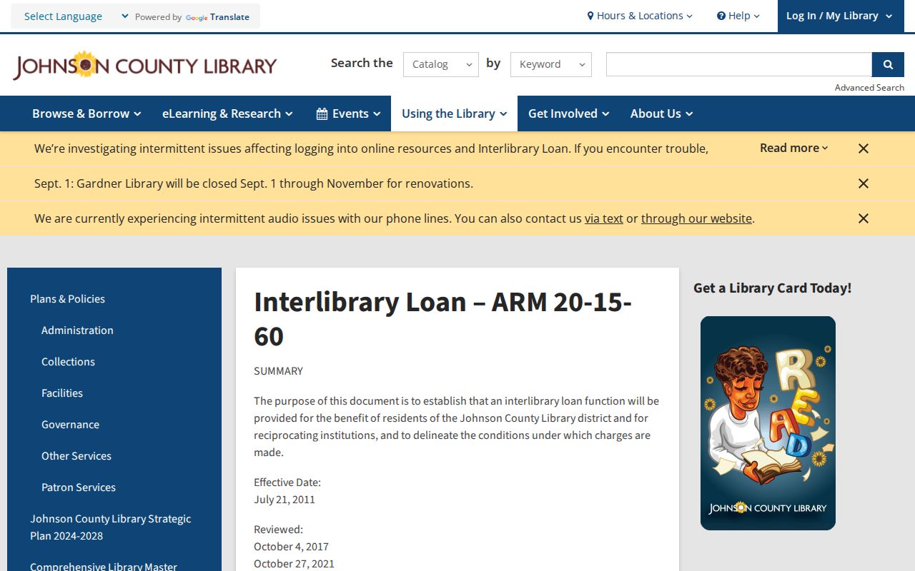
This is a useful civic boundary clue, but a library district is not a parcel, school, neighborhood, or city limit. The ZIP code directory preserves the policy's exact set without turning it into a map the source never supplied.
The district detail also explains why the library policy is relevant even though it is not a postal manual. It identifies the Olathe service area by the four designations in a local government-related rule. USPS remains the source for delivery, while the library rule supplies a separate civic use of the same numbers. Agreement between the two sources supports the set, not a claim about each boundary.
Searching Olathe by ZIP
A ZIP can narrow a large search, but the workflow should begin with the complete address. USPS is the mailing authority. Johnson County AIMS then supplies parcel and geographic context. The Election Office can release defined voter-file fields through a fee-based request and use certification, while VoterView itself is an individual name and birth-date lookup rather than a bulk ZIP search.
- Enter the complete street address in the USPS ZIP lookup. Save the current ZIP and ZIP+4 with the check date.
- Search Johnson County Online Mapping by address. Inspect ZIP, city, parcel, neighborhood, ward, school, and census layers separately.
- Use the parcel or Quick Reference ID to compare property and tax records. Keep the site address apart from the owner's billing address.
- For voter-file research allowed by Kansas law, use the Johnson County Election Office request route and its certification. Never infer an individual from a ZIP-wide count.
- Preserve the mailing string used in an older source. Change it only when dated USPS evidence supports the correction.
Once the postal area has narrowed the work, the Olathe street directory carries the search to address-keyed parcel and street records. ZIP-wide results alone remain too broad for a one-person claim.
Olathe ZIP Search Fields
The Olathe ZIP code directory draws from tools that answer different questions. USPS validates a mailing destination. AIMS maps a ZIP layer and reports ZIP/FIPS with parcel context. Kansas Missing Money accepts city and ZIP as claim-search inputs, but it does not publish an owner list. The field table keeps those functions distinct.
| Official tool | ZIP input or output | Best use | Limit |
|---|---|---|---|
| USPS ZIP lookup | Complete address to ZIP and ZIP+4 | Current mail validation | Does not establish the legal city |
| USPS FAST list | ZIP to preferred city and label grouping | Routing and label context | Not a resident or parcel roll |
| AIMS Online Mapping | ZIP search, ZIP layer, and ZIP/FIPS output | Parcel and map context | Planning reference, not postal authority |
| County tax search | Address, name, or Quick Reference ID | Property and tax linkage | Owner or billing role is not occupancy |
| Kansas Missing Money | Name, city, ZIP, or property ID | Possible unclaimed-property lead | No downloadable owner list |
The Kansas Missing Money search provides one ZIP-enabled example, captured below.

A match is only a claim lead. The free claim process requires proof, and the result does not establish current Olathe residence.
County voter data can also contain residential and mailing address, precinct, and district fields in an approved file request. That access is fee based and carries the K.S.A. 25-2320a commercial-use restriction. It is not the same as entering a ZIP into VoterView. VoterView asks for an individual's first name, last name, date of birth, and a human check, so it should never be described as a public ZIP roster.
Olathe ZIPs and Neighborhoods
Downtown and Central, Havencroft, Eastbrooke, Forest Hills, Mill Creek, Northridge, Prairie Farms, Quail Park, Ravenwood, Stonebrook, Symphony Hills, Village Gardens, Woodland Creek, and Woods of Mahaffie appear in Olathe neighborhood sources. They should not be assigned to a ZIP from memory. A registered neighborhood boundary is a civic-group area, while an AIMS neighborhood may be a planning layer. Neither is the USPS route.
AIMS is unusually helpful because the same map exposes parcels, ZIPs, voting areas, schools, neighborhoods, historic sites, and annexation history. View the layers side by side, but cite each by its real name and date. The map can reveal overlap. It cannot turn those distinct geographies into one boundary.
Note: A neighborhood contact represents a civic group, not every Olathe household or resident within the group's published boundary.
Verify Every Olathe ZIP
The official USPS lookup is the final check for a present mailing address. Its captured interface appears below.
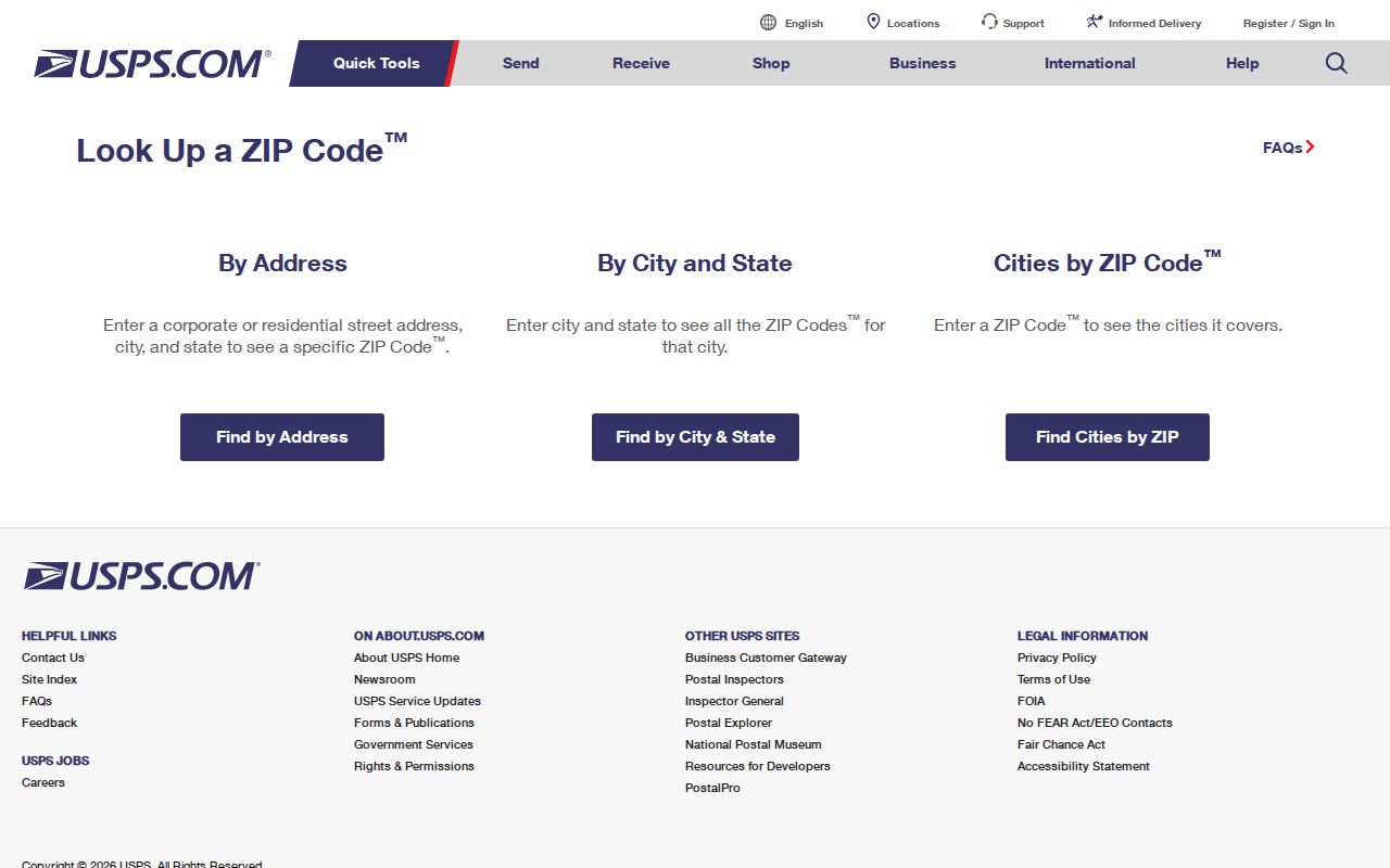
Enter the whole address and retain the returned ZIP+4. The added four digits narrow delivery beyond the five-digit route. Record the date as well, since routes and labels can change.
Historical work needs a second rule: do not silently replace the postal string printed in a deed, directory, obituary, or yearbook. Keep the original text, then add a separately dated modern USPS result. That method preserves the old evidence while making the current route clear.
Olathe ZIPs Versus City Limits
A mailing label serves delivery. It does not declare municipal jurisdiction. Olathe annexation guidance says annexation does not change an address, school boundary, or zoning. A parcel can therefore enter the legal city while keeping its prior postal identity. County tax units, census areas, wards, schools, and registered neighborhoods can all follow other lines.
Use Olathe Planning and dated annexation maps for the legal city. Use AIMS for parcel and map context. Use USPS for the mailing label. The ZIP code directory works only when those three roles stay separate.
Boundary check. An Olathe mailing label does not by itself prove that a parcel lies inside Olathe's legal city limits.
- ZIP and ZIP+4
- The five-digit ZIP is a broad delivery area. ZIP+4 narrows the destination to a smaller delivery segment.
- PO-box ZIP
- A designation used for post-office boxes. Do not apply that label to 66051 without direct USPS proof for the address.
- Unique ZIP
- A ZIP assigned to one large organization or site. No unique institutional Olathe ZIP was confirmed in the research.
- Carrier route
- A group of delivery points served in one postal route, which is more detailed than a five-digit ZIP.
These terms describe postal operations, not people. A ZIP can narrow where to look, but a resident match still needs a dated record and an independent identifier.