
Walk an Olathe Street by Address
An Olathe street directory search works best as a chain, not as a single query. The tax card identifies the name tied to a parcel, while AIMS shows where that parcel sits among nearby lots. A recorded deed explains how title passed. Voter information and a period directory can add address evidence, but neither should be treated as a live census of the home. Save the record date, source, spelling, and parcel identifier at each stage.
- Enter the house number and street in the Johnson County tax and property search. Save the Quick Reference ID and both site and billing addresses.
- Open Johnson County Online Mapping and inspect the same parcel plus the lots on each side. Record the map date and visible layers.
- Use the owner and legal description at the Register of Deeds. Locate the purchase deed, then follow the seller back as a prior buyer.
- For a lawful personal inquiry, use VoterView for an individual or follow the Johnson County Election Office request rules for public file fields.
- For an older household, ask the Genealogy Desk whether that year's Polk volume has a street index or true reverse section.
The flow is address to parcel, parcel to owner, owner to deed, and then address evidence from the proper dated source. That sequence prevents a mailing address or deed party from being mislabeled as a current occupant.
Search Olathe Property by Street
The Johnson County property and tax search accepts a Quick Reference ID or an address, as well as a person's last and first name or a business name. The result can lead to appraisal, tax, map, sketch, cost, income, current and prior bill, and receipt views. It is the cleanest first stop when the known fact is a street number.
| Search control | Input | Use in a street search |
|---|---|---|
| Quick Reference ID | County parcel key | Reopens one exact record without relying on a street spelling. |
| Address | House number and street name | Finds the parcel tied to the known site address. |
| Owner | Last name and first name | Tests other property records tied to the same name. |
| Business name | Entity name | Finds a parcel held under an organization rather than a person. |
| Quick or Advanced | Search mode | Broadens the route when the first query does not match. |
The site address identifies the mapped parcel. The billing address is where the county sends tax contact material. Keep both, since a different billing address is a useful lead but does not prove where the listed owner lives.
The county property search screen shows the actual starting point used for a search by street.
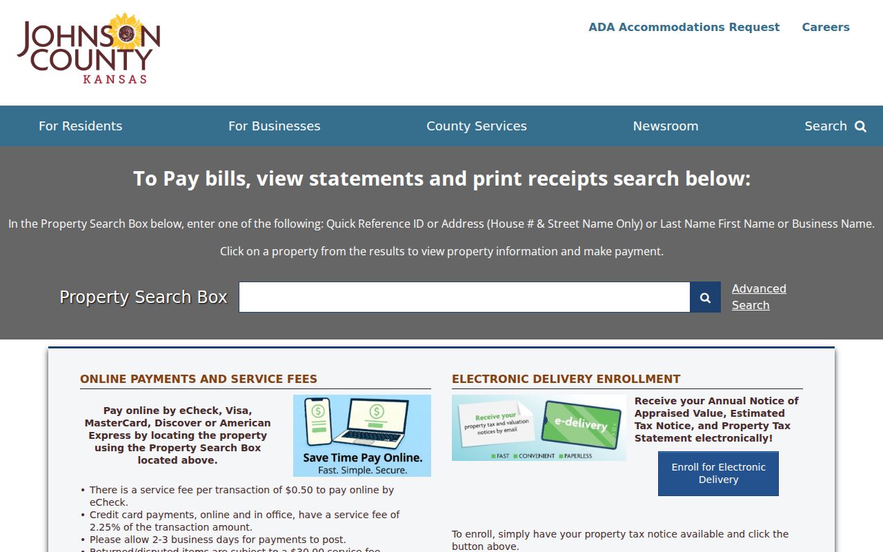
The form's address and owner routes make it possible to test the same parcel from two directions without treating a result as occupancy proof.
Map Olathe Street Parcels in AIMS
Johnson County Online Mapping is public and needs no login. It can search by address, property ID, owner, plat, subdivision, neighborhood, school, city, ZIP, intersection, legal description, and PLSS location. That range matters when one spelling fails or when a road name changed. Its layers include parcels, voting districts, wards, schools, neighborhoods, historic sites, zoning, annexation history, and older aerial imagery.
The map is a reference product compiled from deeds, plats, tax data, and other public sources. It is not a survey. Use it to browse the street segment, select adjacent parcels, and discover the legal or map key that leads back to a custodian record.
The AIMS parcel and address viewer shows how map layers support an Olathe search by address.
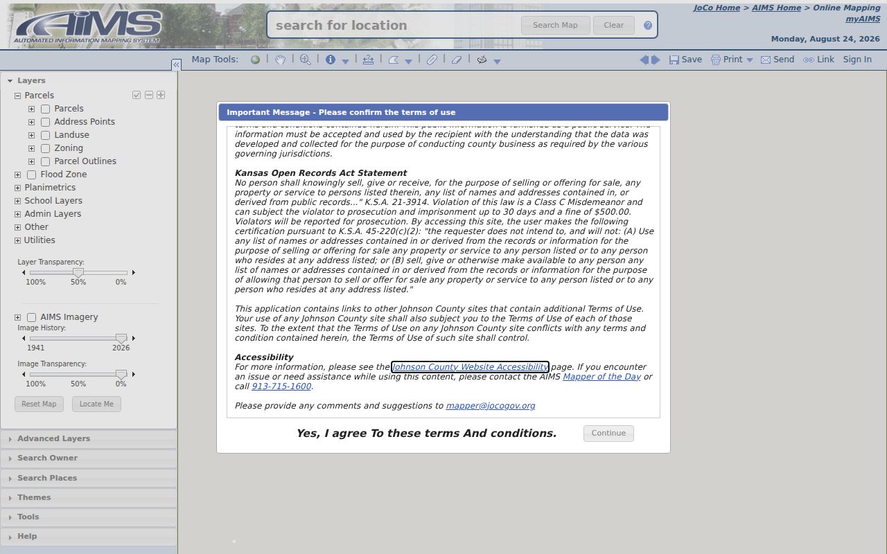
Visible parcel lines and nearby lots help distinguish a whole named street from the much narrower question of one recorded tract.
Read an Olathe Parcel Report
The AIMS Location Maps and Information report brings the join fields together. A report may show the site address, billing address, owner information, legal description, subdivision, plat, KUPN, Quick Reference ID, year built, area, zoning, tax unit, and links to appraisal, tax, sketch, and map views. Some owner detail may require a login.
- Parcel
- A mapped tract with a county identifier. It is not the same as a household.
- Situs address
- The physical site address assigned to the parcel, which may differ from the billing address.
- Plat
- A recorded map that lays out lots, blocks, streets, and subdivision boundaries.
- Criss-cross directory
- A directory organized by street or address, rather than only by a resident's surname.
The AIMS location report service illustrates the county fields used to connect a street address to a stable parcel key.
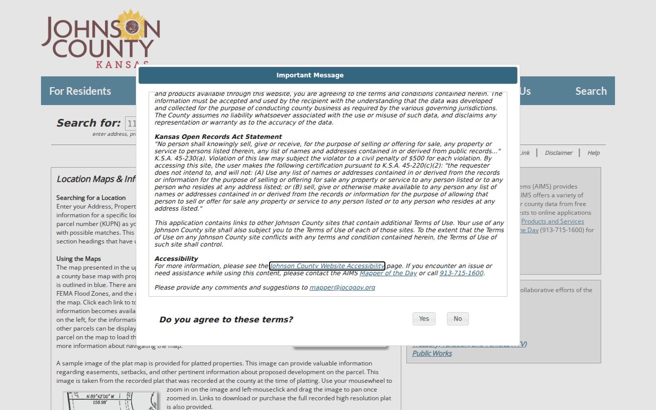
The legal description and county identifiers are the safest bridge when a street number or road name has changed.
Olathe Records Indexed by Address
No Olathe street directory source answers every address question. These record sets cover different roles, dates, and levels of proof. The county property card is strongest for the name on the tax record; the deed is strongest for a recorded transfer; permits describe work at a site; historical maps show the block at a past date.
| Record Set | Keeper | What It Shows | Access |
|---|---|---|---|
| Property and tax card | Johnson County TTV | Owner name, site and billing address, parcel and appraisal context | Public web search |
| AIMS parcel report | Johnson County AIMS | Parcel, legal, owner, districts, nearby addresses, and aerials | Public map and report |
| Deeds and related instruments | Johnson County Register of Deeds | Parties, recording date, legal description, and transfer record | Terminal, subscription, and changing public system |
| Voter information | Johnson County Election Office | Defined registration and address fields at a record date | Individual lookup or permitted file request |
| Permits and plans | Olathe Planning and Building Codes | Address, work type, status, description, and issue date where shown | Reports, CSS account flow, or KORA request |
| Historical maps | KSHS, Library of Congress, libraries | Street, building, use, and block context | Online scans and library access |
The parcel number ties map, tax, legal, and permit research together. A street name ties the same place to voter data and period directories, but the source date must travel with the result. When an online tool fails, use the Register of Deeds public terminal, a city KORA request, County Archives, or the library collection documented for that record.
Follow Deeds Along an Olathe Street
The Johnson County Register of Deeds is the title source. Start with the present legal description and owner, search that owner as a grantee, and inspect the latest purchase deed. Then search the grantor as a prior grantee. Repeat while the legal description, lot, block, or subdivision continues to match.
The online document library names a 1920 through 1987 document index and plats from 1866 to the present. Subscription access is scheduled to end July 1, 2026 as the county moves to Tyler Enterprise Records Management, with new public access anticipated in fall 2026. For gaps, use the public office terminal, deed books, plats, and County Archives. A surname match alone is not enough.
Mortgages, releases, easements, restrictions, declarations, correction deeds, and replats can explain a parcel change without proving a new resident at the door.
Olathe Permits by Street Address
Olathe permit monthly reports place building activity at an address. Current online material covers 2024 through 2026, and the city identifies a KORA route for reports back to 2017. The planning map may expose permit status, type, class, address, description, and issue date, plus planning case details when available.
The CSS permit portal asks for an account in its current flow. It can use an address or parcel location and may show permit type, contacts, attachments, and review material. If a needed report is not online, request the specific address, date range, and record type from the Olathe City Clerk instead of asking for an open-ended resident list.
Permit names may identify an applicant, contractor, designer, or owner. They do not by themselves establish who occupied the property.
Old Olathe Street Names Matter
Olathe records preserve road forms that can defeat a modern street directory query. The city's historical street-name resource connects names such as Black Bob and Lackman, Lone Elm and Parker or K-7, Mur-Len, Sheridan and 143rd in some segments, and Strang Line. Search both the wording printed in the old record and the current form.
One local quirk deserves special care: Olathe's east side used the Kansas City, Missouri street-numbering system. Research did not locate an exact renumbering date. A legal description, adjacent street, directory street index, Sanborn year, and modern parcel map are safer than forcing an old number onto a present address.
Historic right-of-way records add another route. AIMS covers 1850 through 1949 road packets and books searchable by name, packet, road book and page, or section-township-range.
Olathe Reverse Directory Shelf
Johnson County Library confirms Olathe city directories in its genealogy collection, including an R.L. Polk catalog run for 1961 through 1984. The public catalog does not establish which years contain a true reverse or criss-cross section. Ask the Genealogy Desk to inspect the contents, front matter, street index, and abbreviation key for the exact year.
A period address can then be checked against the name section and neighboring years. Record the publisher, year, page, image state, and the spelling as printed. For the collection itself, year runs, and reading method, use the Olathe city directory research rather than treating one catalog entry as a complete shelf inventory.
Sanborn maps from 1884 through 1950 can supply block and building context when the directory address has shifted, but a footprint or use label is not an occupant list.
Limits of an Olathe Street Directory
Property ownership is not the same as residence. A tax card may name a trust or an owner who receives bills elsewhere. A deed fixes parties to a recorded transaction. Public voter fields cover registered voters under state and county rules, not every member of a household. Utility customer lists, driver address data, protected voter addresses, and private association rosters are not a public street-by-street roll.
Kansas Safe at Home can provide a substitute address to qualifying victims. That protection is one reason a blank or substitute field must not be treated as an error to overcome. Source dates also matter. Maps, tax rolls, permits, directories, and voter records update on different schedules.
Lawful use. Use Olathe address records only for lawful personal research. Never use a street search to stalk, harass, intimidate, or harm anyone.
A careful conclusion states exactly what the cited record shows: recorded owner, deed party, permit contact, listed voter, or historical directory entry. It does not turn one role into an unsupported claim about current occupancy.